
When first looking into visiting the Olympic National Park in Western Washington, I didn’t understand its inclusion in the Olympic Peninsula. Surrounded by national forest, state lands, towns and tribal reservations, it is impossible to navigate around the nearly 1 million acres of the National Park without traversing other areas of the Peninsula. During the three days I spent on the Peninsula I saw a variety of ecosystems, though I know there is much more to see! Along with the diverse ecosystems, the Peninsula also holds thousands of years of human history.
The Olympic Peninsula, which contains the northwestern-most point of the contiguous United States, lies across Puget Sound from Seattle, and is bordered on the west by the Pacific Ocean, the north by the Strait of Juan de Fuca, and the east by Hood Canal. Roughly 22 percent of the 6,500-square-miles Peninsula is contained within National Park boundaries, with its three distinct ecosystems making it one of the most ecologically diverse national parks in the United States. There are thousands of plant and animal species found within its temperate rain forests, rugged coastline, and glaciated mountains, giving it an incredibly high level of biodiversity.
President Theodore Roosevelt protected the area as a national monument in 1909, and it became Olympic National Park in 1938, designated by his distant cousin Franklin D. Roosevelt. It gained an added level of protection in 1981 when the United Nations designated it as a World Heritage site.
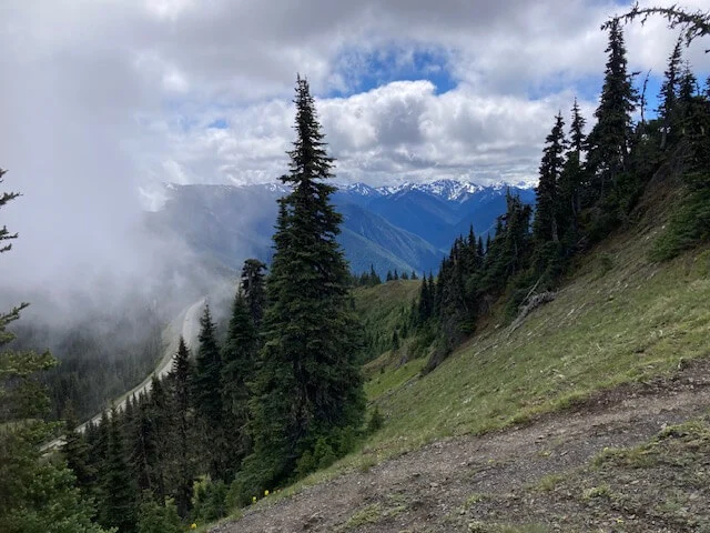
After stopping at the Visitor Center in Port Angeles, the first place I went was to Hurricane Ridge. The road up Hurricane Hill was closed, and it was too early in the season to head up to Obstruction Point, but the views from the parking lot at the ridge were incredible! And I saw the largest raven I have ever seen near the cars!
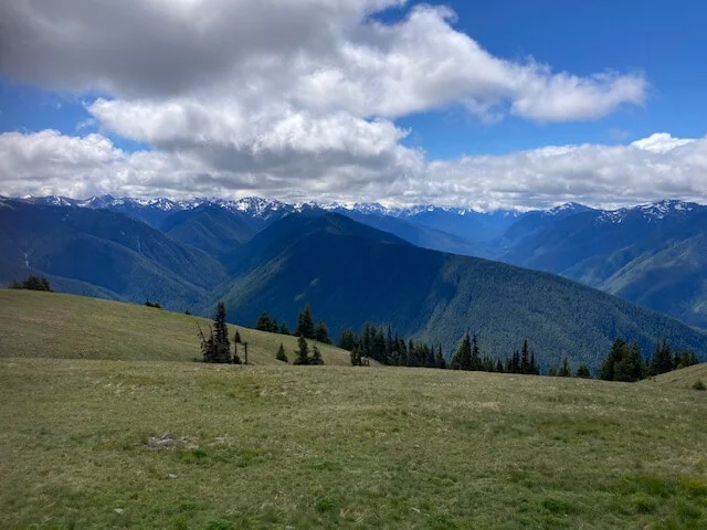
Hiking the trails around the meadow and along the ridge gave me a breathtaking look at the mountains and valleys!
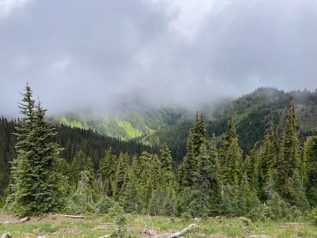
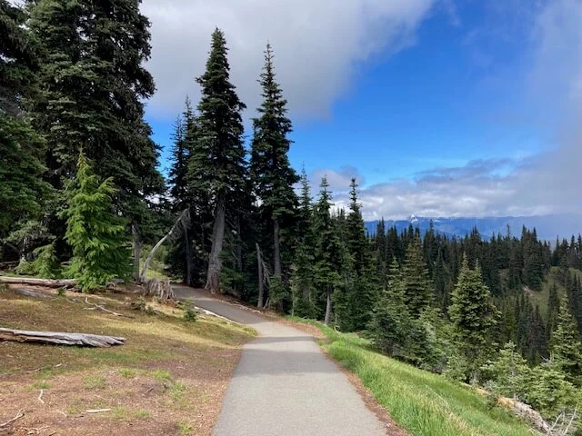
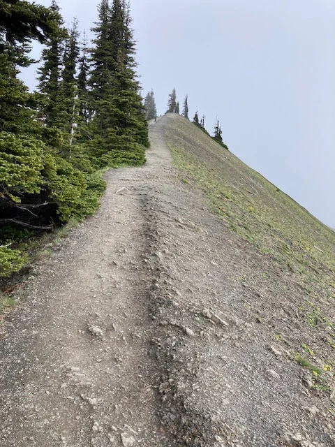
Sharing my binoculars with a couple of young women I met, we watched what looked like a bear and her cub down in the valley, along with a couple of deer. There also were deer grazing in the meadow on the mountainside.
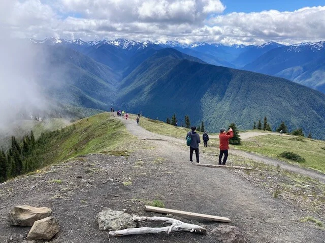
Driving from place to place around the park is time consuming and often means driving miles around the mountains outside the park. Leaving Hurricane Ridge and driving west around Lake Crescent is one of my favorite drives. The road weaves around the lake shore, hugging it close, with an ambience that changes depending on the time of day. Near Lake Crescent, I hiked through an amazing forest to Marymere Falls.
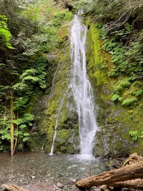
I also hiked to Madison Falls in the Elwha Valley, which was home to the Klallam people since time immemorial. In the late 1800s settlers began exploring the valley, and some of the pioneer history is captured along the trail to the falls.
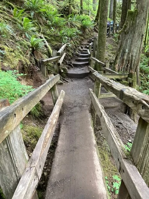
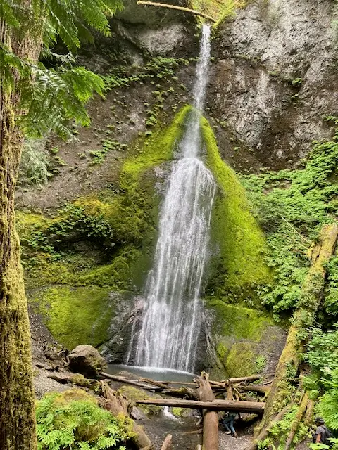
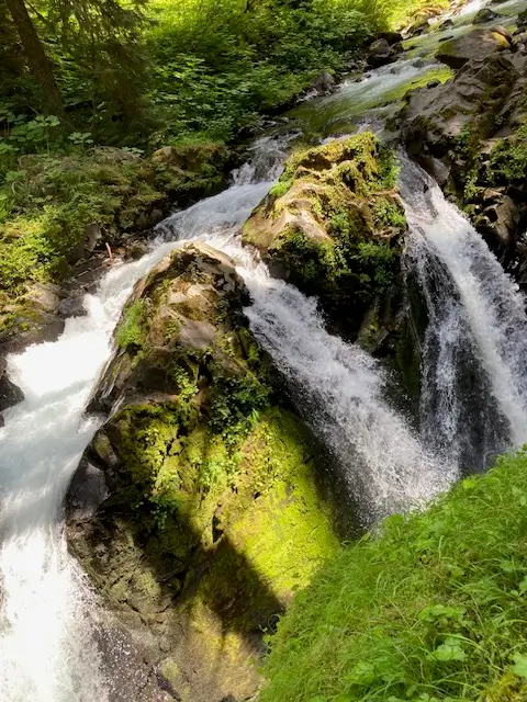
Hiking to those two falls was incredible, but if you visit the park, and you like waterfalls, you have to visit the Sol Duc Falls. The drive up to it, and the hike, are incredible, as well as the falls.
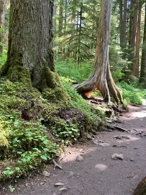
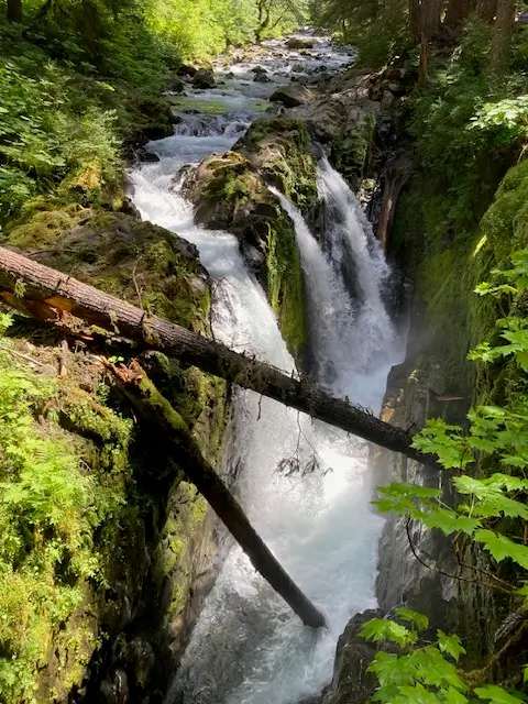
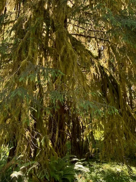
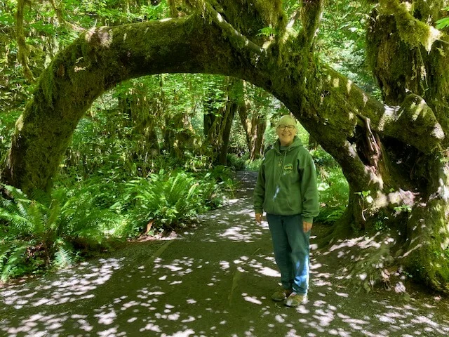
It’s hard to get even the three days of this incredible Peninsula in here, but I will try. One of the most magical areas of the Park is the temperate rain forest. I’m still amazed at the fact that North America trumps every other continent in the world when it comes to rain forests, and the planet’s greatest density of biomass is found in the temperate rain forests of Olympic National Park. The temperate rain forests of the Park are different than tropical rain forests with cooler temperatures. What makes a rain forest is the water – high humidity and lots of rain – in a tight forest tree canopy that creates distinct vertical layers of plant and animal life. Lichen hanging like lace from the trees created a fantasy-like atmosphere as I hiked through the Hoh Rain Forest.
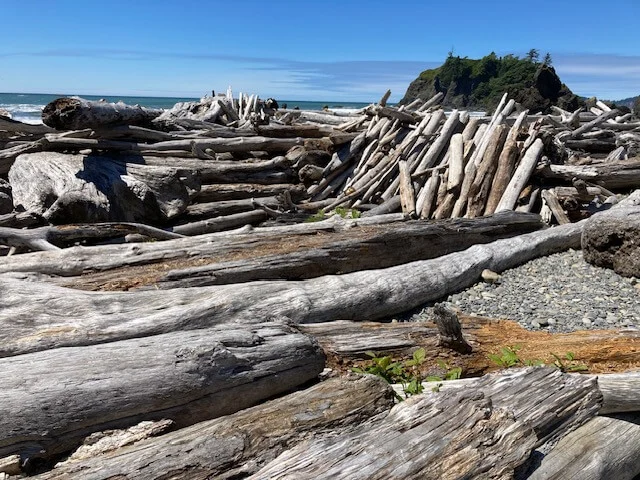
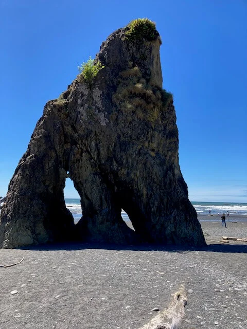
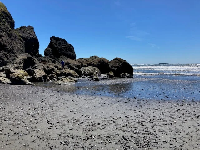
In contrast, I had to visit Ruby Beach with its sea stacks, driftwood and reddish sand. Those of you who knew my mother can guess why.
I also drove up the north coast of the Peninsula to Neah Bay to visit the Makah Museum. One of the Park rangers told me about the 500-year-old archeological finds in the museum and I had to see them for myself. The Museum is the nation’s sole repository for items discovered at Ozette, the Makah Indian coastal village that was located 15 miles south of Neah Bay. The people lived there year-round well into the 20th century.
Mudslides plagued the village at different periods in history. In 1970, tidal erosion exposed a group of 500-year-old Ozette homes that had been preserved in one of those mudslides, and excavation began. More than 55,000 artifacts were discovered over the 11 years of excavation by the Makah Tribe and Washington State University helping to recreate the Makah’s history as whalers, sealers, fishermen, hunters, gatherers, artists, basket weavers, spinners, and warriors. The museum displays many of the artifacts, along with dioramas depicting marine environments. I also had the opportunity to walk inside a full-sized longhouse inside the museum.
I’m not done exploring, and I anticipate exploring more of the Olympic Peninsula.