Did you know there is a Highway 1 that follows the Pacific coastline all the way from Southern California to Northern California? And you can continue driving the coast all the way to the Olympic Peninsula in northern Washington by transitioning onto 101? And that there is a Highway 1 that follows the Atlantic coast from the tip of Key West, Florida, to the Canadian border in Maine?
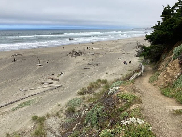
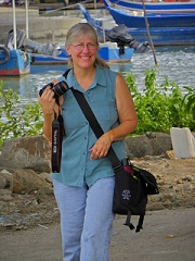
I’ve been fascinated by these particular highways since I can remember, and the wander lust part of me had been intrigued at the idea of traveling all the way up the coast, or down the coast, on either side of the country. So, what did I do? I drove the nearly 350 miles of Highway 1 and Highway 101 along the California Coast from the Point Reyes National Seashore all the way to Crescent City, which is just before the Oregon Border. Granted, that is only a stretch of the road, but what a stretch! I had this strange idea that it would be a relatively flat road along the coast, sometimes down close to the beach and sometimes along the cliff. What I didn’t expect was the windy up-and-down roads in and out of the mountains along the coast as well. Stunning views and a variety of types of beaches, it was an incredible drive!
Hwy 1 was not created as one highway. Sections were built that eventually connected, which made it possible to drive the 636 miles. A doctor from New York is credited for the creation of a 100-mile stretch of the highway that helped complete the connections. He purchased land and founded the town of Seaside in 1887, serving as its planner, county supervisor and postmaster, as well as a rural doctor visiting patients on horseback. In 1894, the SS Los Angeles ran aground south of Carmel, and it took him nearly 3.5 hours to get to the shipwreck and help those who needed a doctor. That was too long, and he recognized the need for a road. He photographed the landscape between San Simeon and Carmel, which was basically the first survey of that rocky stretch of the coast.
Construction on the 100-mile stretch between San Simeon and Carmel began in 1922, and prisoner labor was used at 35 cents a day. The prisoners also received reduced sentences. The project was completed in 1937, and then the last leg of the 636 miles up to Leggett was completed in 1951.
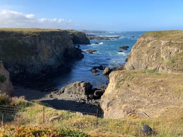
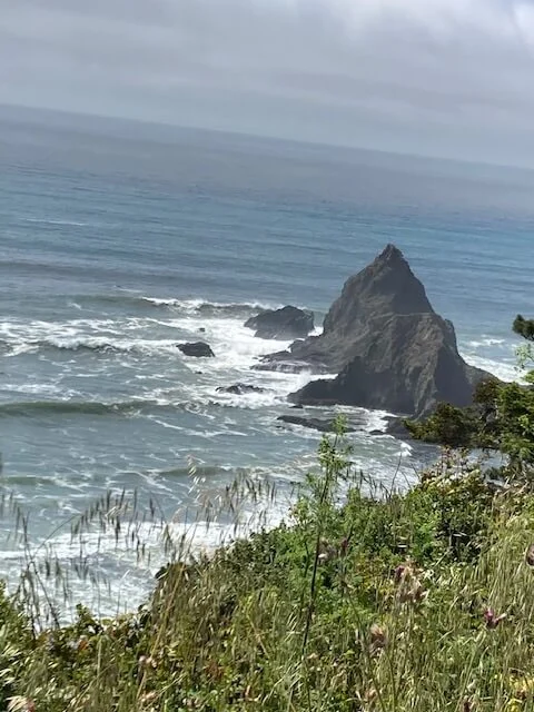
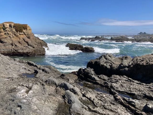
It took me a while to drive up the coast with stopping at overlooks, hiking to beaches, meeting people, etc. I have quite an imagination. Sometimes, the rocks on the surf took on a life of their own! I saw shark fins in the rocks jutting out of the sea.
I also found a lot of rocks I would have liked to pick up! Especially when hiking down to beaches! But, I followed the rules and let them be.
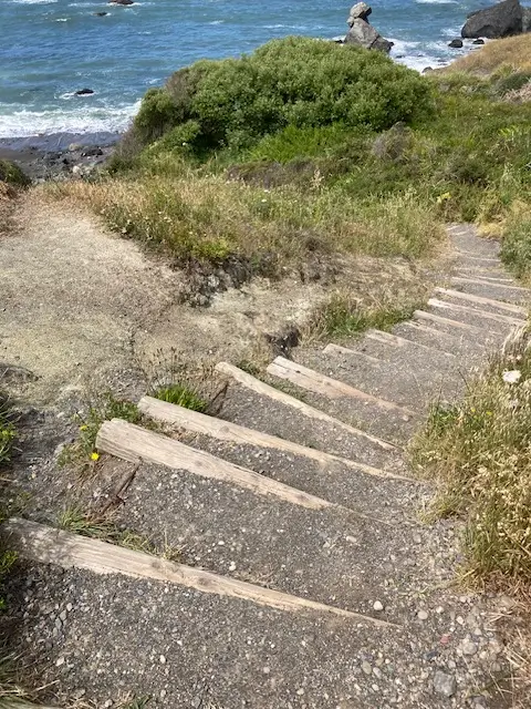
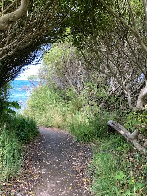
Stairs and trail down to Shell Beach
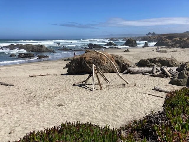
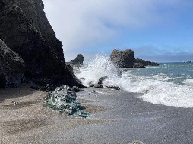
Different parts of Glass Beach
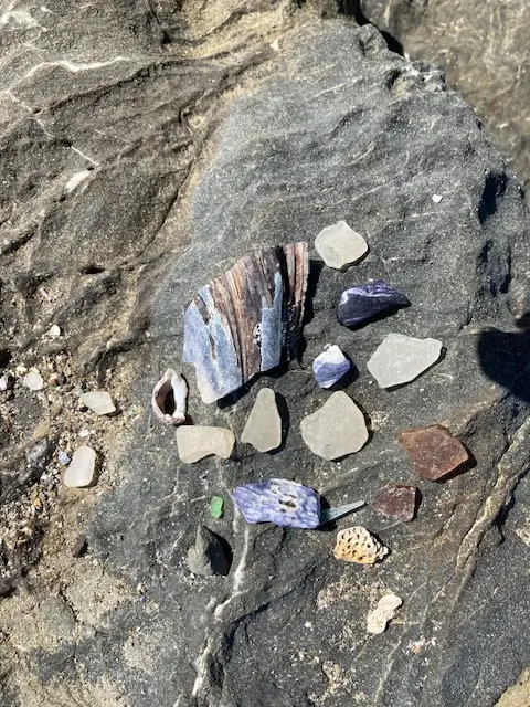
Glass and shell findings at Glass Beach (Yes, I left them there.)
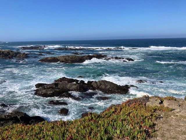
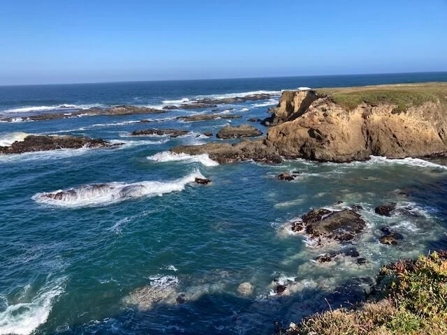
I will leave you with more images of the ocean.