
Cold, extremely windy, cloud speckled skies greeted me in, or maybe followed me to, Lovell, Wyoming, my stepping off area to the Bighorn Canyon National Recreation Area. I booked a hotel for two nights, and prayed the weather would cooperate when I would be driving up to the canyon ridge. I woke up to a colder, gray, cloudy morning, which actually turned out to be a good hiking day. The wind had died down a little, but I decided to spend the first day checking out an historic ranch site and hike a canyon that didn’t take me up into the Pryor Mountains.
Though North American people have traveled on and lived near rivers and streams for more than 40,000 years, but people avoided the Bighorn River because it was too dangerous, and the canyon too steep-walled. Peopled lived near it, but avoided it until after the dam was built. Native American hunters drove herds into game traps and augmented their diet with seeds and wild roots, animal skins provided material for clothing, and plant fibers were used to make baskets. Bone, stone and wood were used to make tools to create those things. Caves of the Bighorn area were used for seasonal housing and storage.
All that changed in the 1800s. During the Civil War era, many people crossed the Bighorn River as they traversed the Bozeman Trail into Montana, a trail that was opposed by the Lakota and Northern Cheyenne tribes. The trail was closed by the federal government in 1868. After the Civil War, cattle ranching became a way of life, and the Crow made the transition from hunter-gatherers to ranchers in one generation.
One of the largest open-range ranches of the time was the Mason-Lovell ranch, with its headquarters constructed near Lovell in northern Wyoming in 1883, supporting as many as 25,000 cattle. It operated from there through 1902.
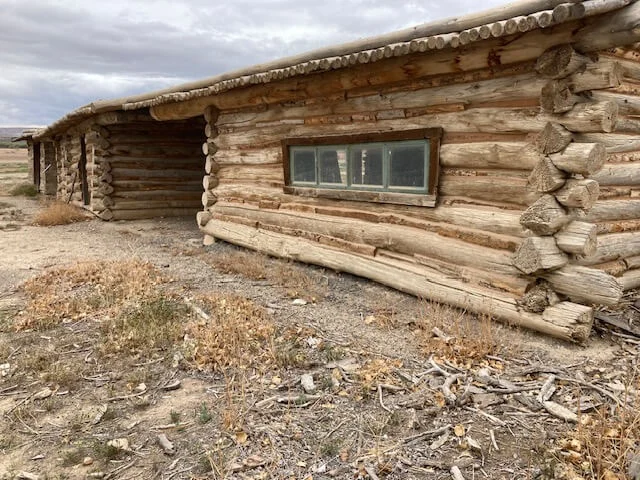
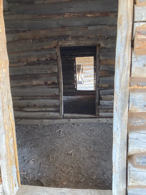
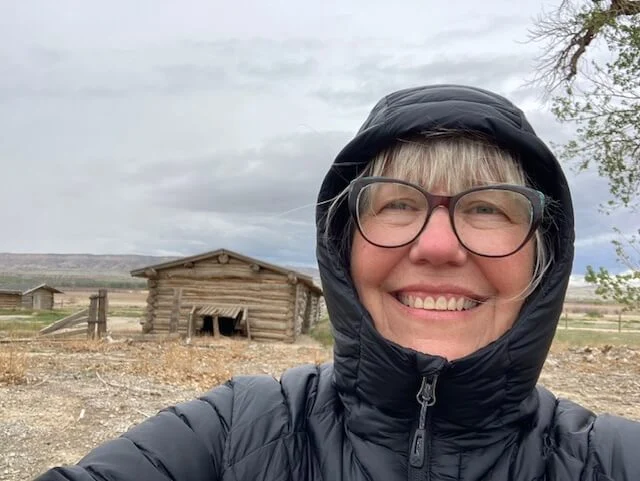
The Bighorn Canyon National Area was established in 1966. The focus of the area isn’t really the historic ranches, though they are a piece of preserving the history. The focus is the 71-mile-long Bighorn Lake, which was created when the river was dammed near Fort Smith, Montana in 1968. The recreation area has two visitor centers and access points, one near the dam in Montana, and one at the south end in Wyoming near Lovell. There are no roads going from one end to the other.
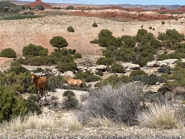
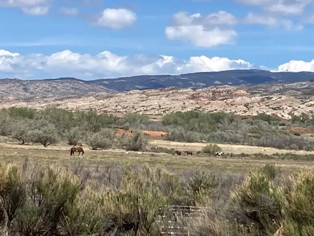
One of the things that excited me was the east boundary of the Pryor Mountain Wild Horse Range is in the recreation area, and I was hoping to see some of the beautiful animals. I was privileged to see a few of them.
After visiting the ranch, I moved onto Bureau of Land Management property a few miles away to hike up the Cottonwood Canyon. The trail follows the Cottonwood Creek, though the creek isn’t visible very often because of the trees and brush that has grown up around it. The creek also disappears underground in areas. With bracing myself against the cold wind, I often couldn’t hear the peacefulness or the sounds of the water because of the rubbing of the hood fabric against my ears, which I was grateful for its warmth!
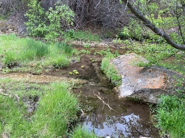
I hiked about 2.6 miles round trip, with a constant gradual elevation gain as I moved into the canyon.
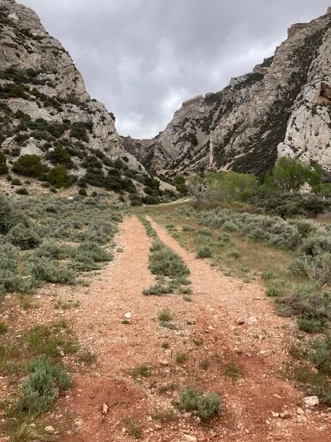
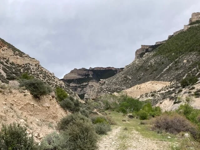
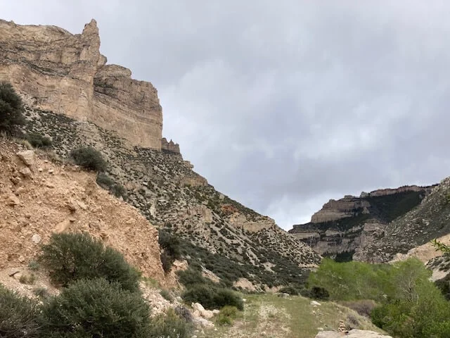
The colorful, mesmerizing mountains were gorgeous as I was driving to the trailhead, and I was driving right to them, up close and personal. Once on the trail, the high cliffs on both sides were stunning, and turning around on the trail to look through the canyon down to the flat land at the bottom provided a view that seemed to go on forever!
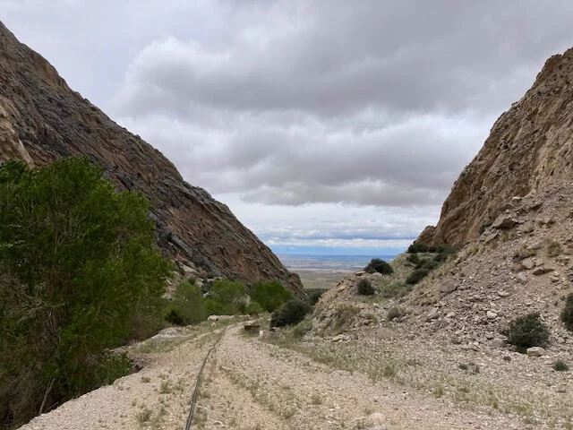
The sun did try to peek out on and off, but the persistent clouds kept chasing it away.
Driving up into the Pryor Mountains on the second day, I was greeted with sunny skies speckled with clouds. One of the first things I saw as I headed up the mountain was gorgeous vistas and horses.
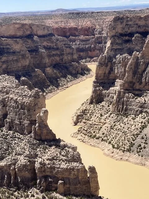
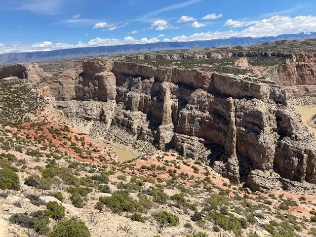
I chose a couple of overlooks and a couple of trails. My favorite overlook was the Devil Canyon Overlook! The steep 1,000-foot cliffs and view of the murky river were sobering. It shows how small we as humans really are.
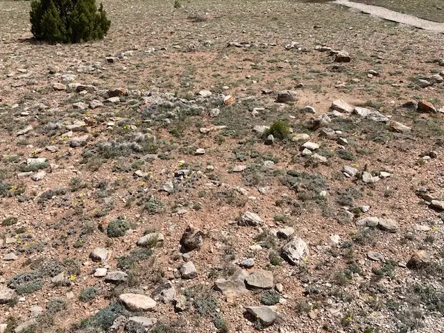
The Two Eagles Interpretive Trail was really interesting. It takes you around a high flat area with a high density of Tipi rings, or stone circles, that give a strong indication that people used the area domestically for thousands of years. More than 25 of these rings are visible from this quarter-mile trail. I understand the stones were used to hold the hides down around the Tipi to keep it sturdy through high winds and weather. When it was time to move on, the stones were rolled off. Some of the Tipi rings had stones that were placed both inside and outside of the hides, with the inside ones probably being added to keep the Tipi warm.
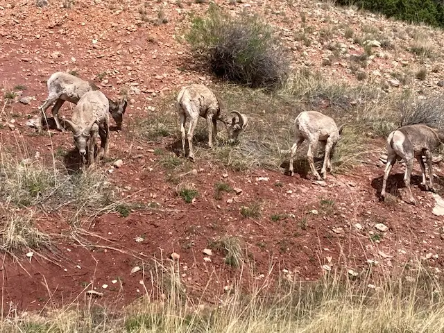
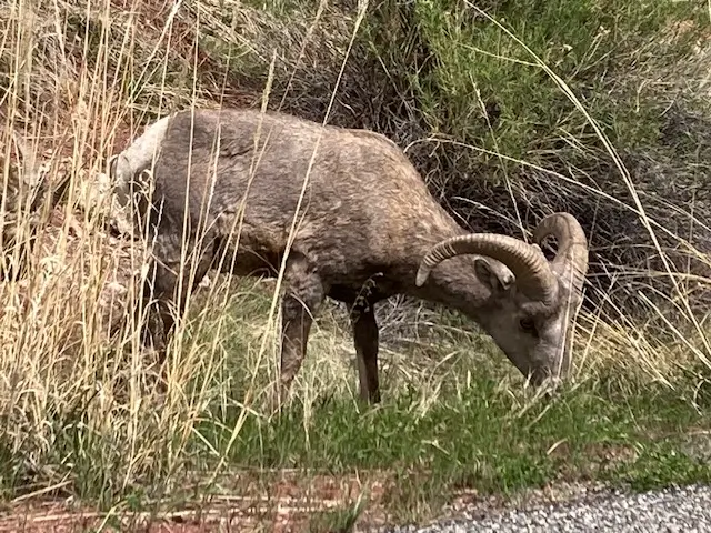
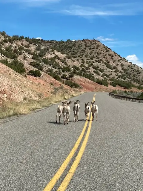
On my way down to Barry’s Landing, I saw a group of bighorn sheep! They were alongside the road, and they were so fun to watch!